dsakdksapodkspaodkkpsa
Project
The project consists in the creation of an interactive 3D simulation of the mining sites of Porto Flavia, Galleria Henry and Sos Enattos.
dsakdksapodkspaodkkpsa
The project consists in the creation of an interactive 3D simulation of the mining sites of Porto Flavia, Galleria Henry and Sos Enattos.
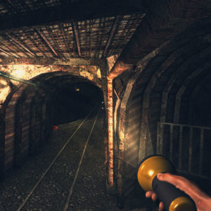
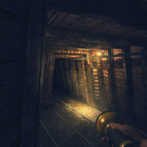
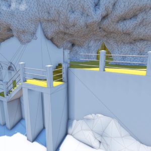
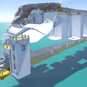
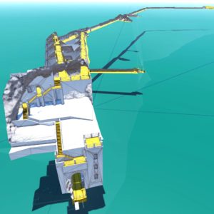
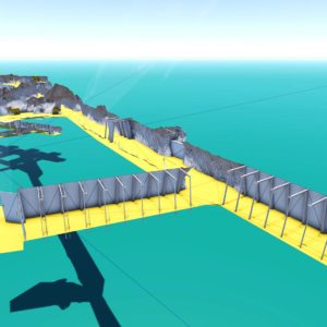
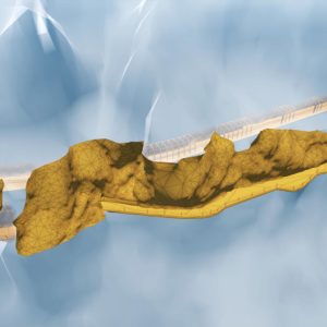
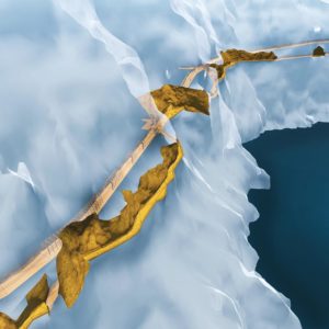
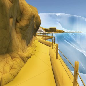
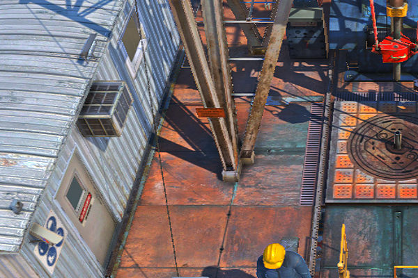
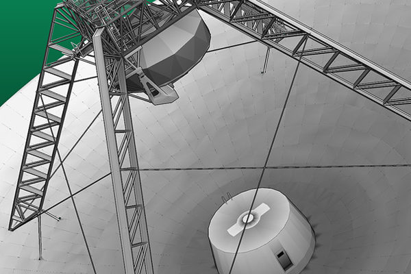
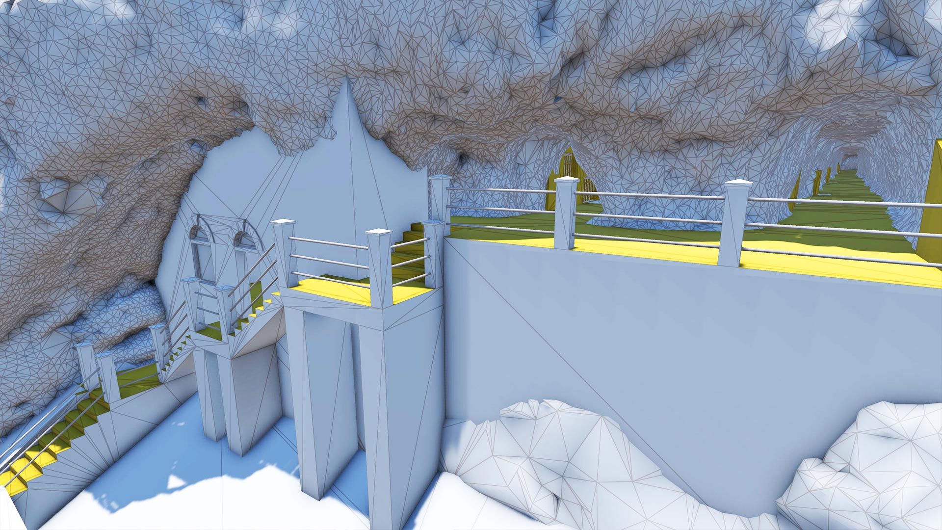
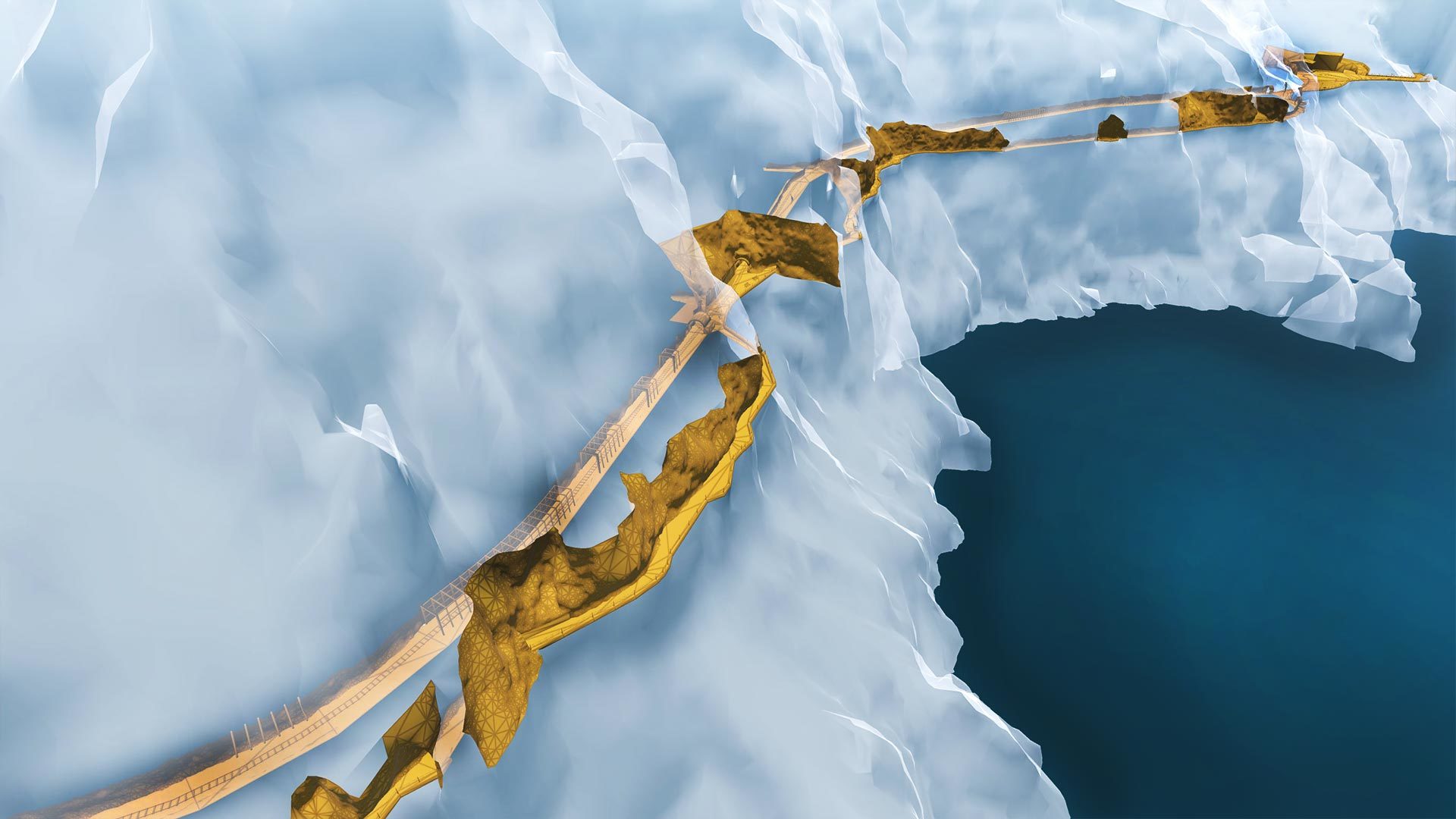
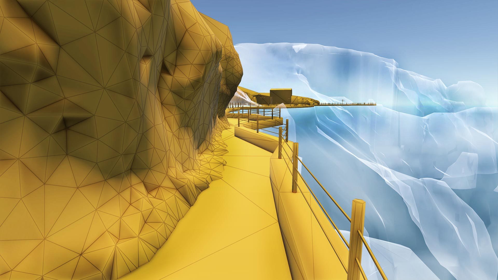
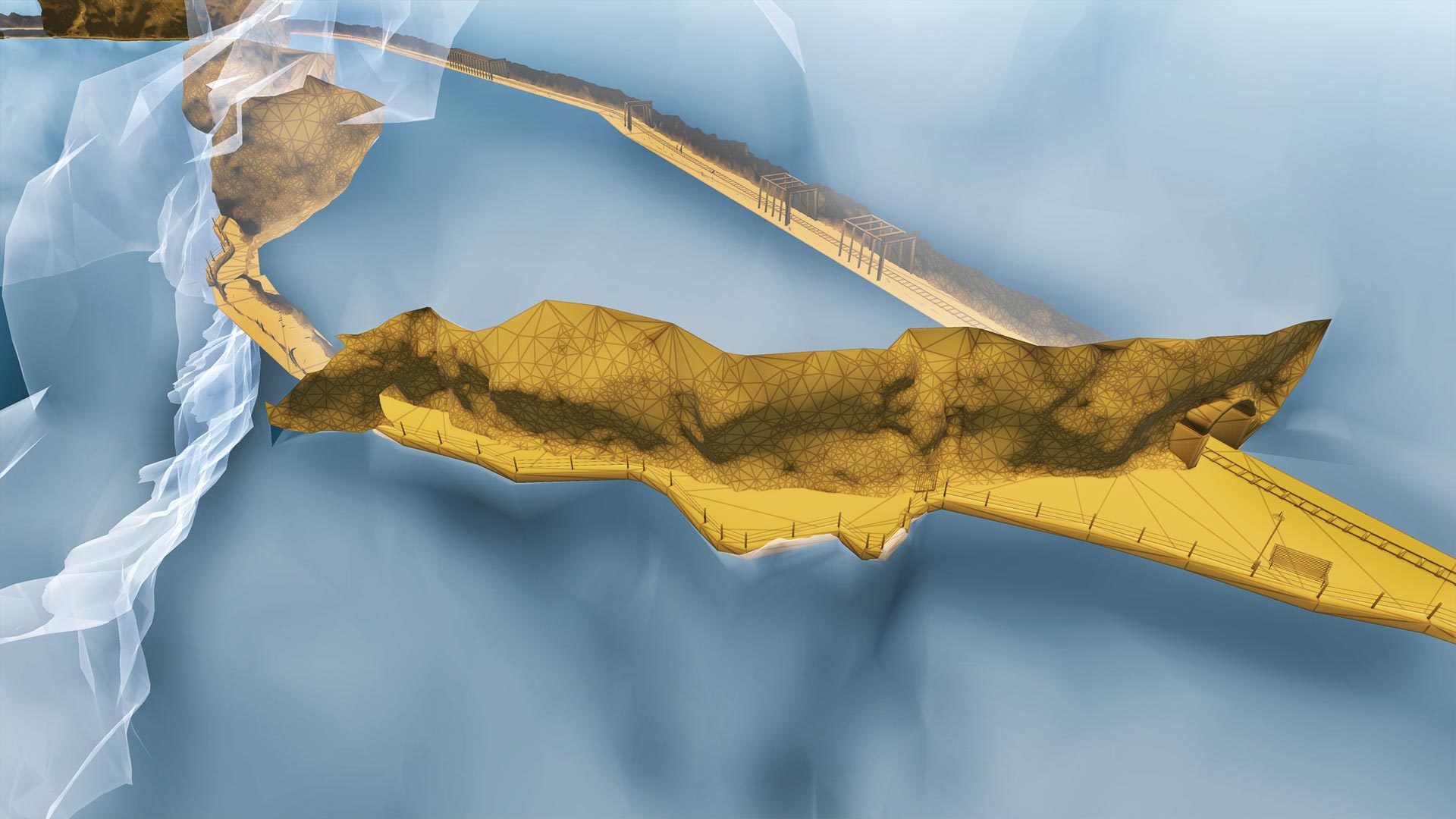
The navigation software is characterized by a high photo-realistic detail, as well as by a real-time navigation system for the exploration in fully interactive mode the reconstructed environments and sceneries.The reconstructions have very high technical precision, because of the innovative features of the survey technologies used (laser survey, aerofotogrammetry cartography and photographic survey).
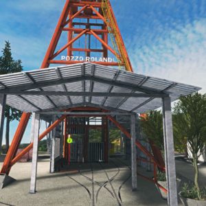
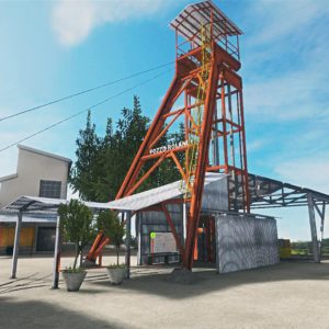
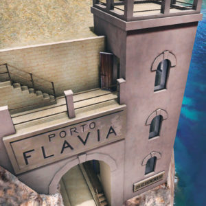
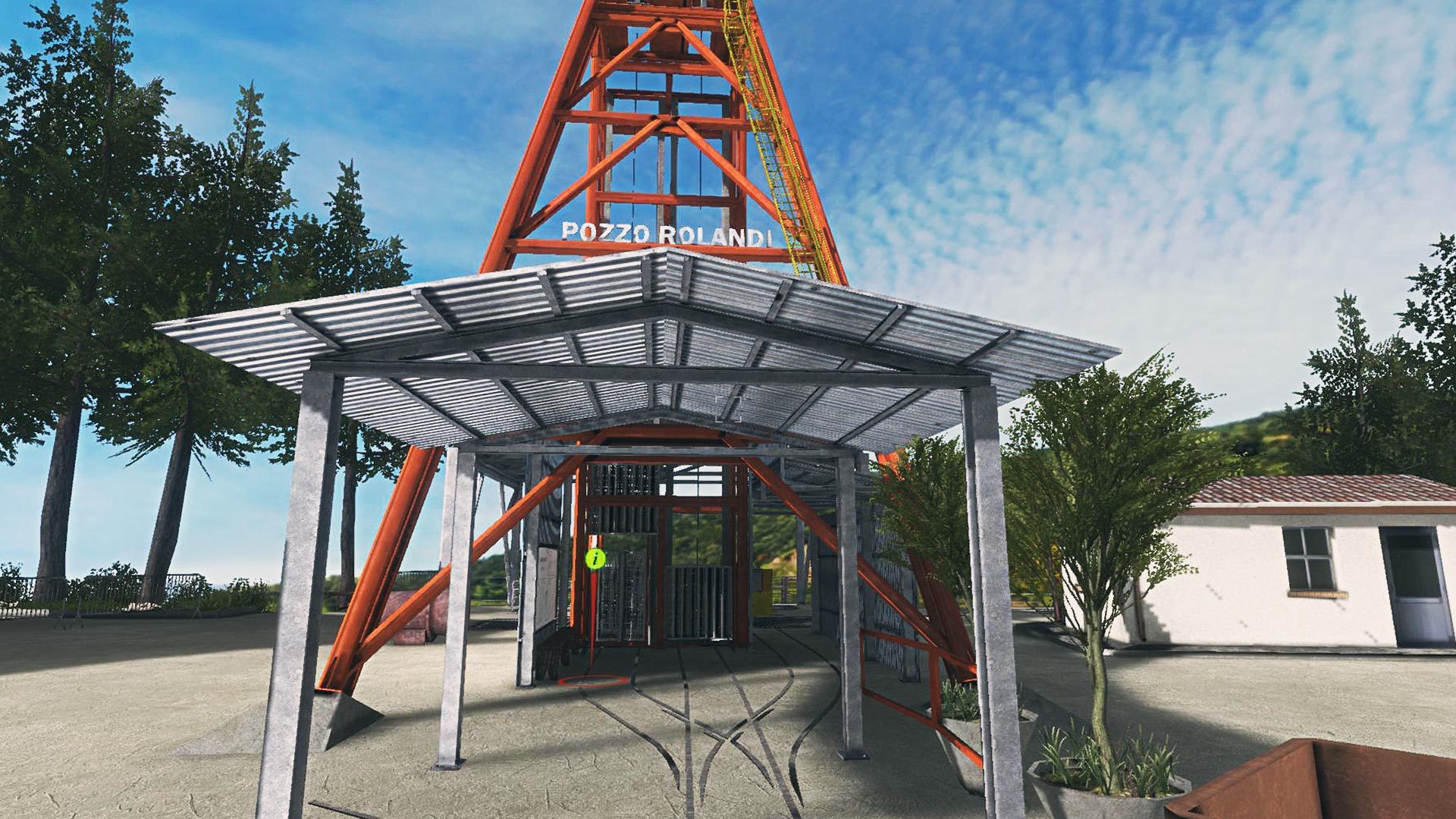
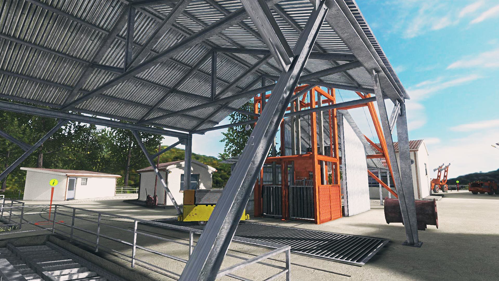
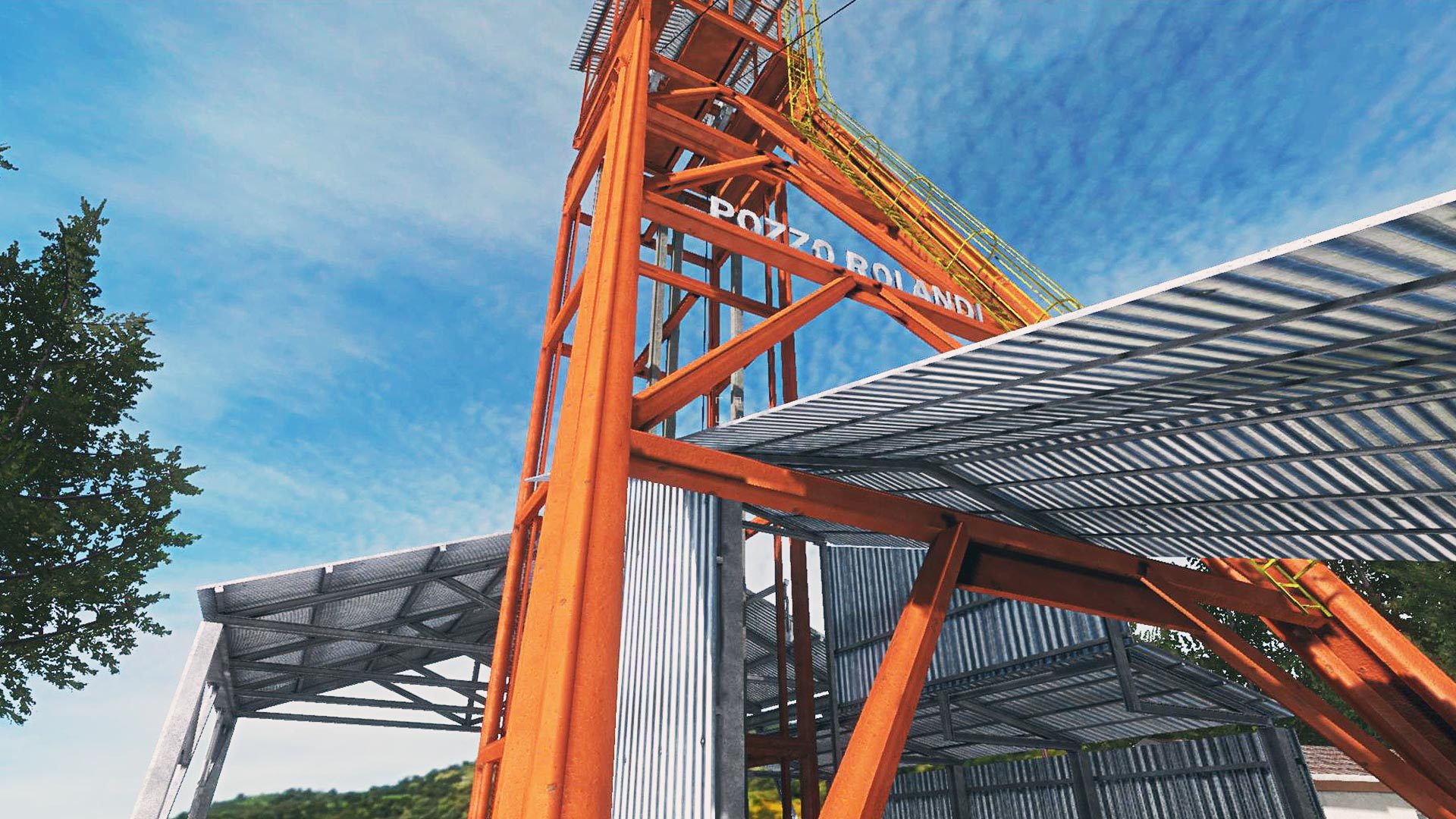
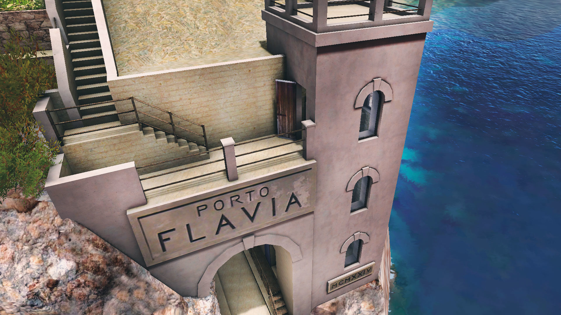
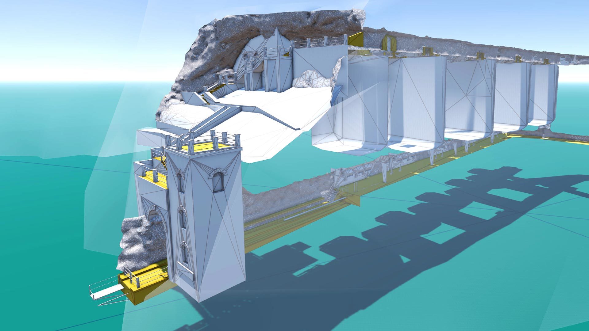
PORTO FLAVIA
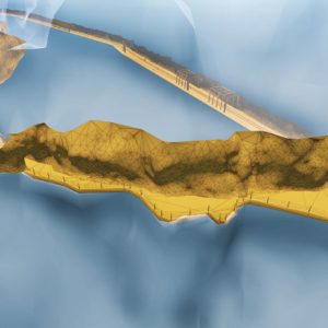
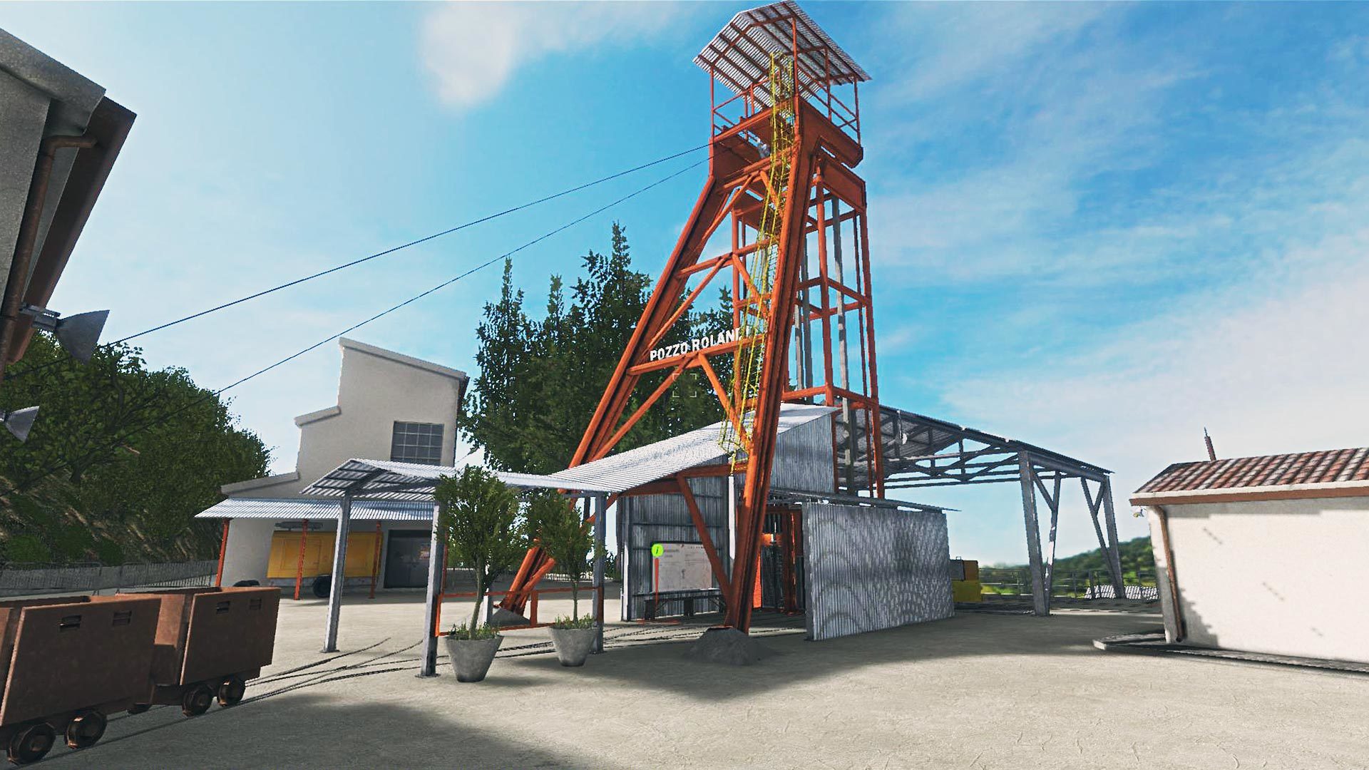
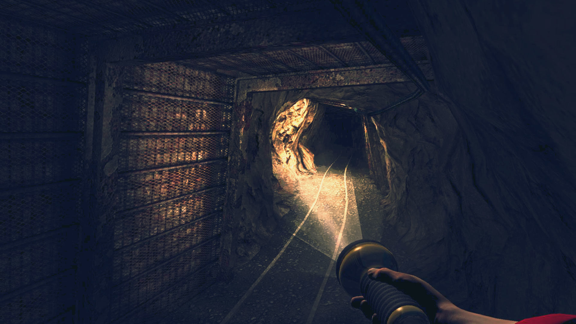
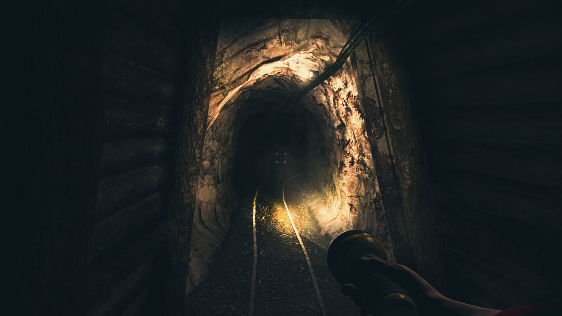
The project consist in the 3D reconstruction of the Porto Flavia tunnel system, which served as transportation way of the ore extracted from the nearby mines and its loading on cargo boats. The site is located nearby the village of Masua, hamlet of the town of Iglesias. For carrying out the simulation, laser survey of the whole internal structure has been obtained through 70 scanning stations, while cartographic elaborations have been used for the description of the external morphology.
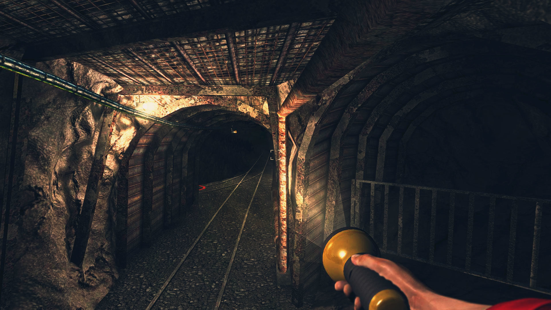
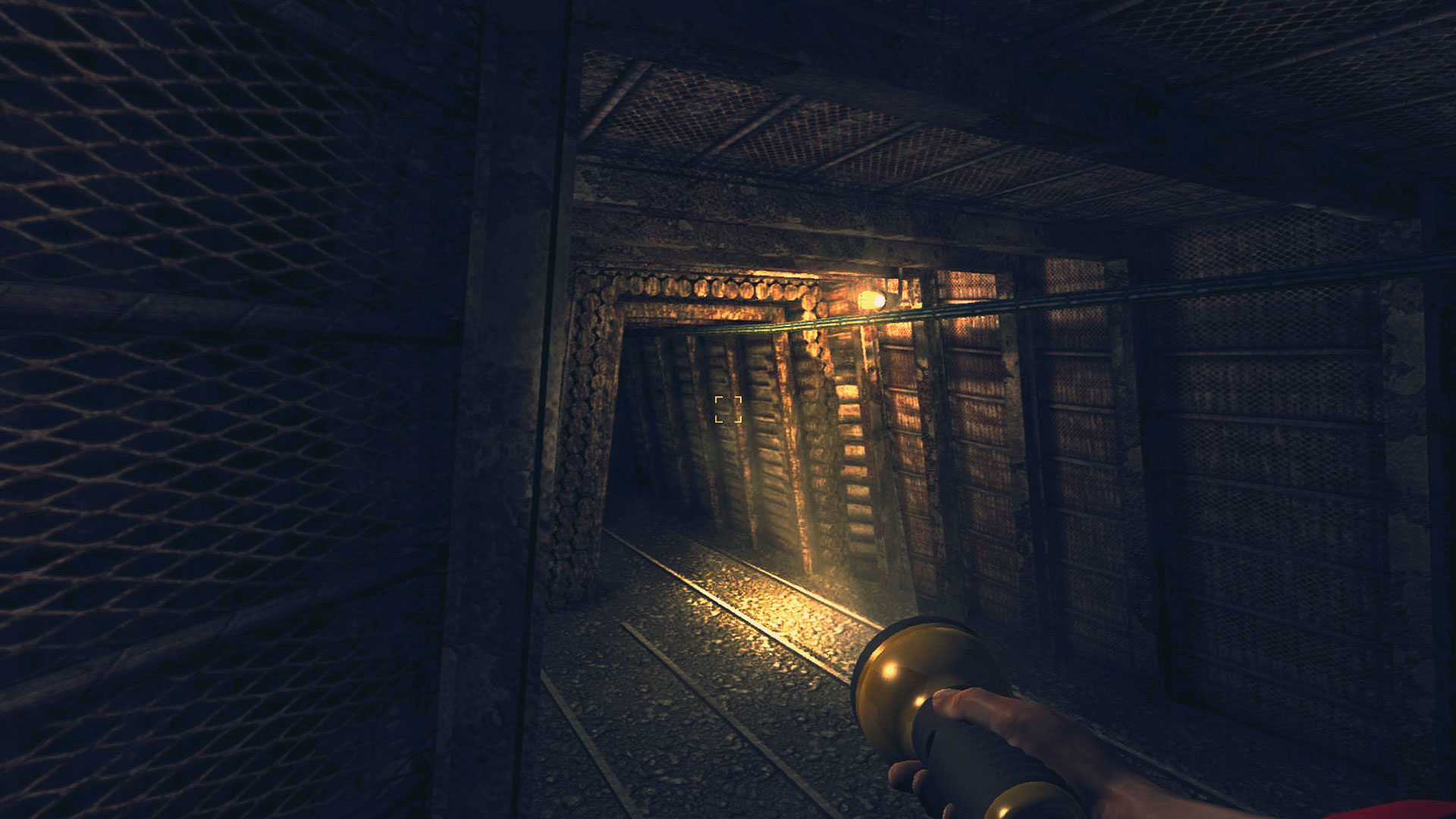
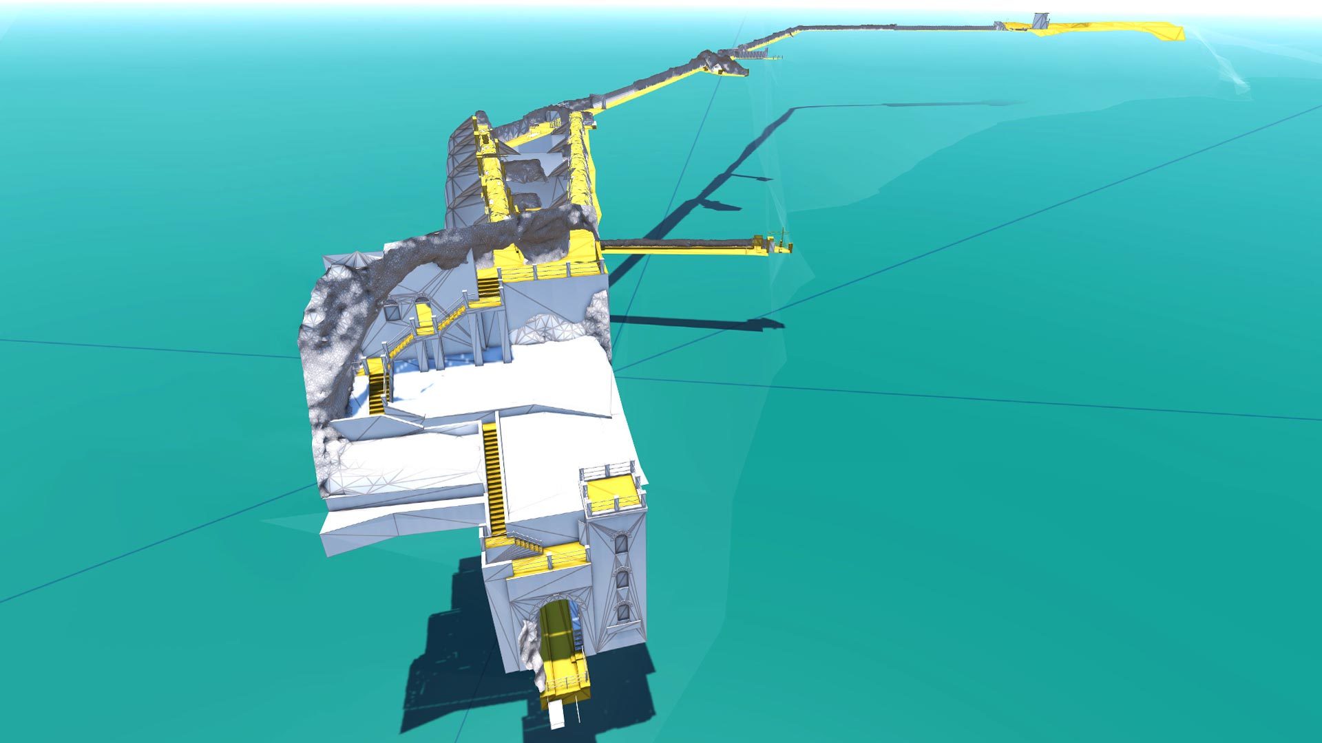
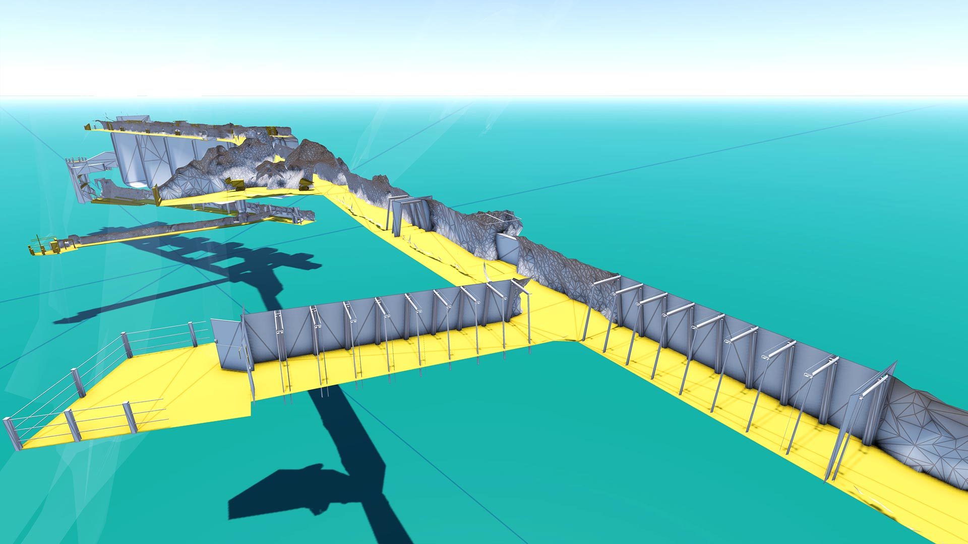
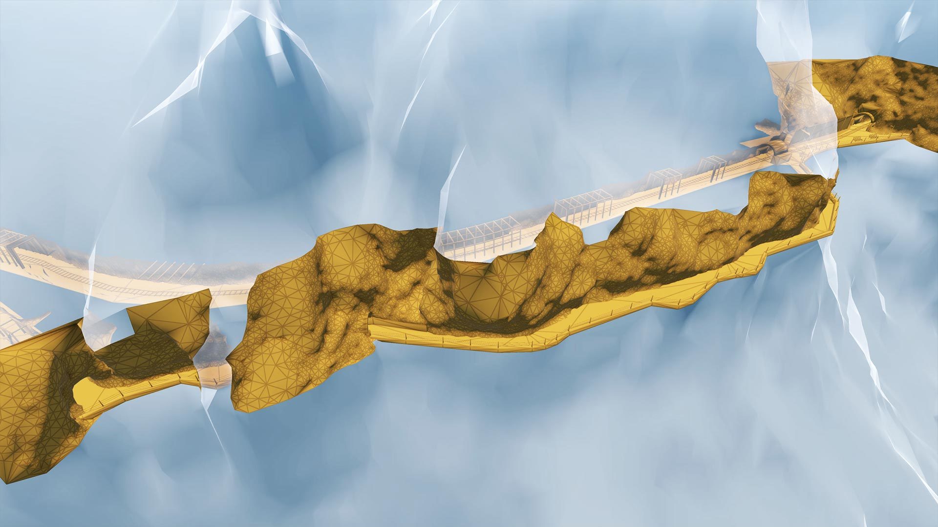
GALLERIA HENRY
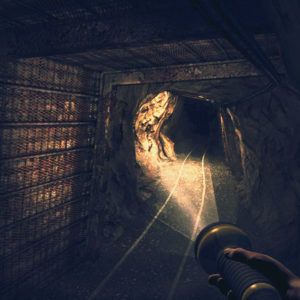
The tunnel system of the Galleria Henry has been reconstructed in such a way that the user can virtually visit it and also simulate the on-board trip on the historical train, 3D reproduced as well. The site is located nearby the village of Buggerru.
The simulation is based on a laser survey of the whole internal structure, as well as of a part of the external environment, which required the use of 145 scanning stations. For the description of the external morphological elements a 3D model of the terrain was obtained by cartographic tools.
SOS ENATTOS
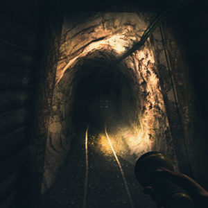
The project consists in the 3D reconstruction of the Sos Enattos mine, in the municipal territory of Lula. The web application enables the user to virtually visit the mine, accurately reconstructed in 3D.
A laser survey of the tunnel system and the external square requiring some 200 scanning stations was carried out for the 3D reconstruction.
Each year, Bentley sponsors this premier event and recognizes award-winning Be Inspired projects from users in the world of infrastructure design, construction, and operations. Year in Infrastructure presentations explore the intersection of technology trends and business drivers, and how emerging next practices are shaping the future and value of infrastructure delivery.
Presented to SJM TECH in recognition of their partecipation in the 2012 Be Inspired Award Program for
3D MINING COMPLEX VIRTUAL TOUR